Well the day had arrived, I hadn’t done as much training for this one as others but sill felt it would be ok. My rucksack weight was about 11kg which is as light as I can make it for this trip as I was carrying the larger tent this time as my mate Rob was coming as well. We would be walking 70 miles around the Isle of Wight in 3.5 days, camping for two of them and B&B for the final night.
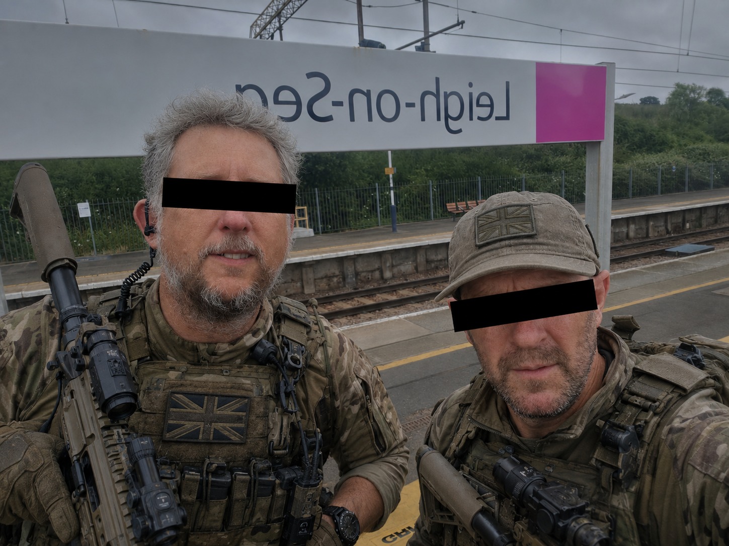
We met at the station, lovely day. We would catch the 8.30am train to West Ham, get the tube to Waterloo and then down to Southampton Central. From there get a taxi to the Ferry Terminal and hopefully get on the 12:00 ferry which would get into the IoW at 1pm.
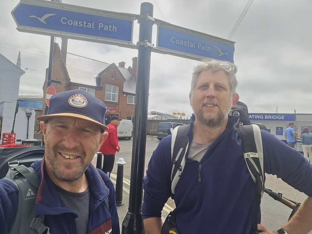
We took a photo at the station and sent it to the lads group chat. We got a reply immediately with an AI photoshopped picture changing us into 2 para military’s in reference to the Russian Frigate hanging around the channel.

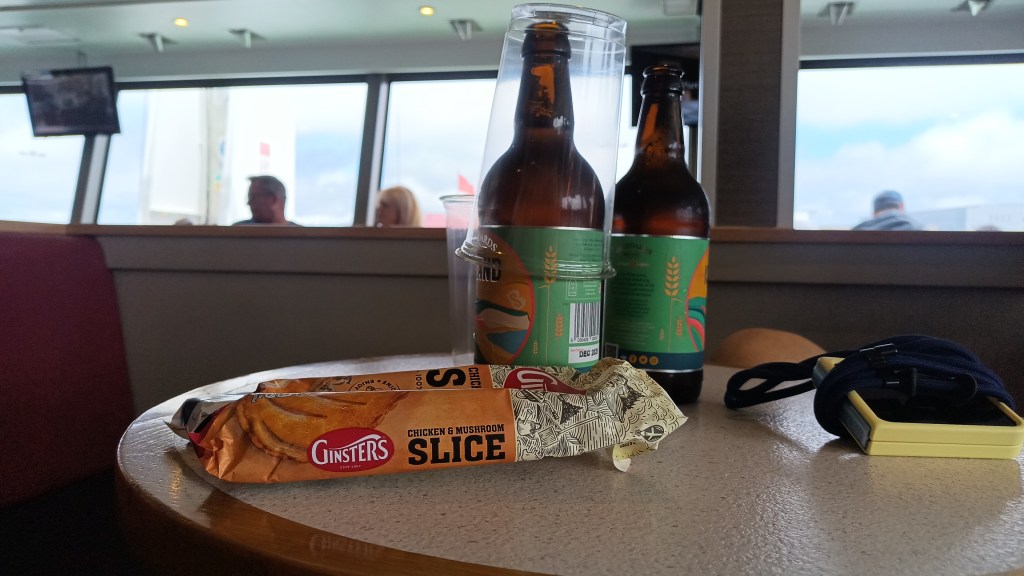
The journey went to plan and we got aboard with time to spare, time for a beer and a bit of food.
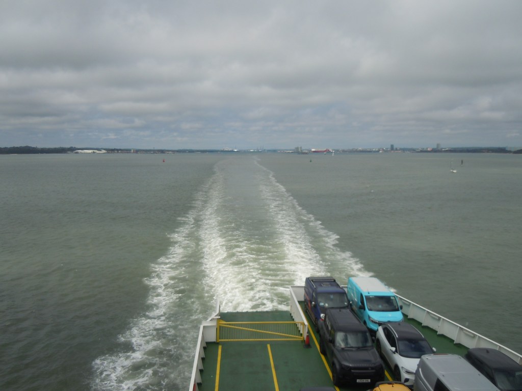
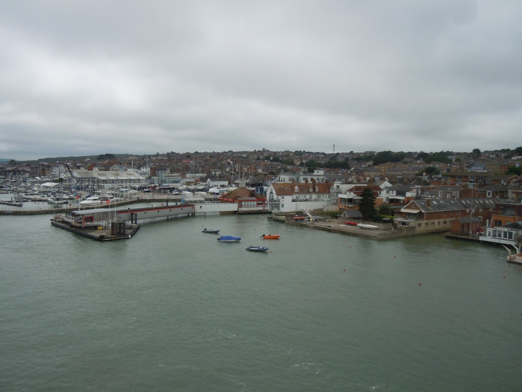
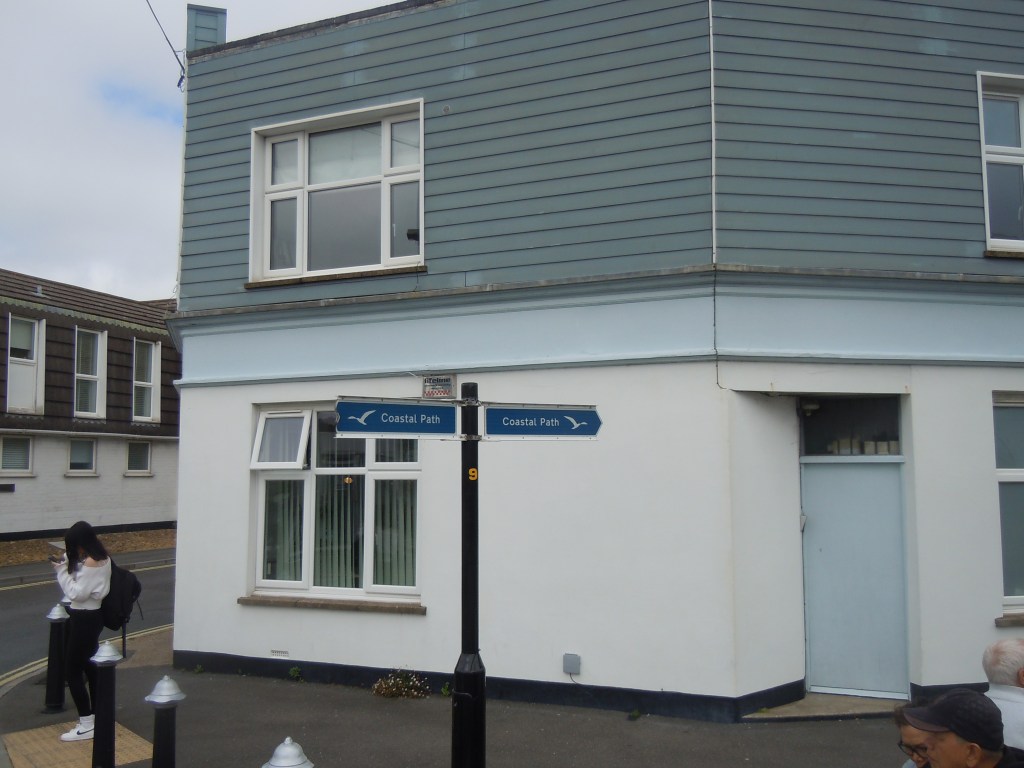
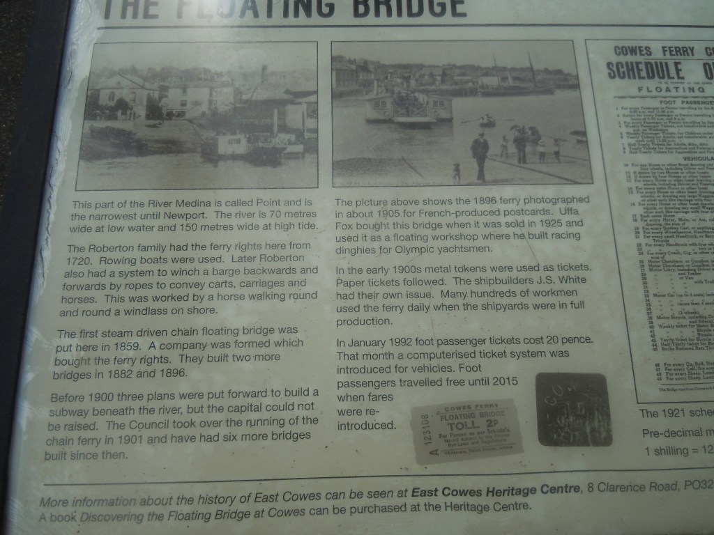
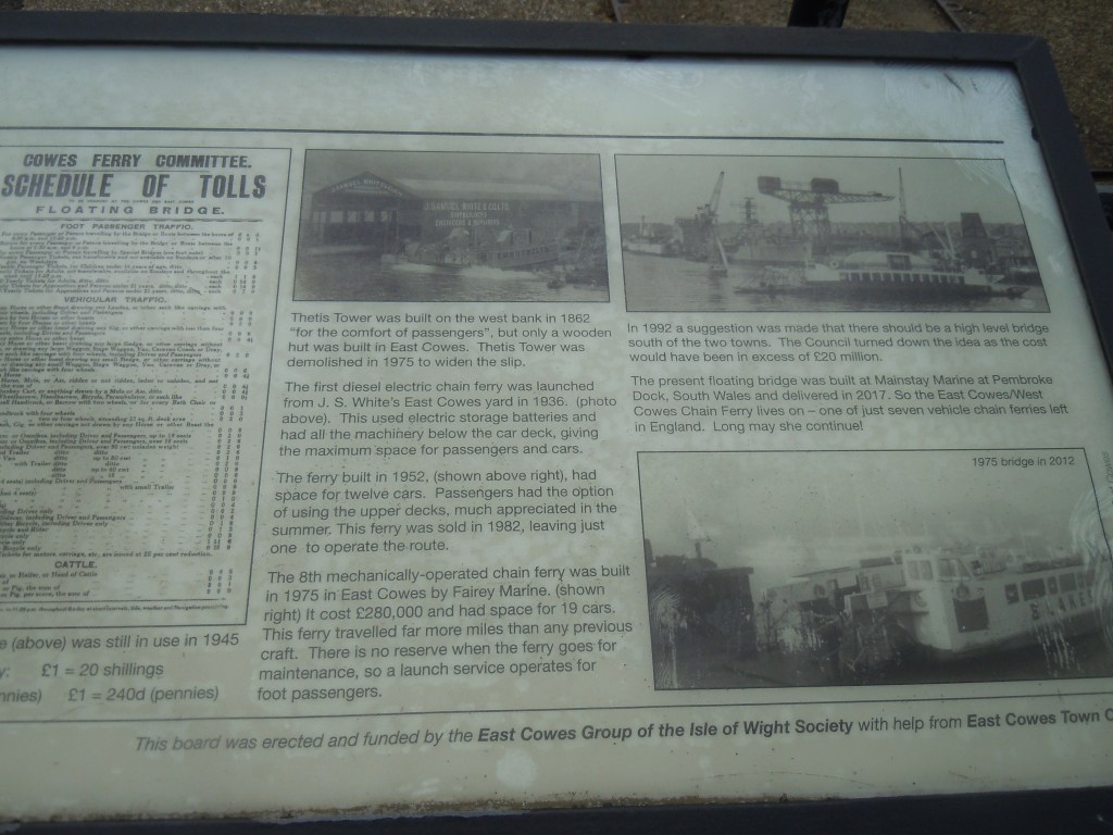
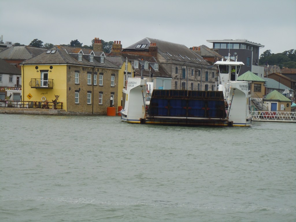
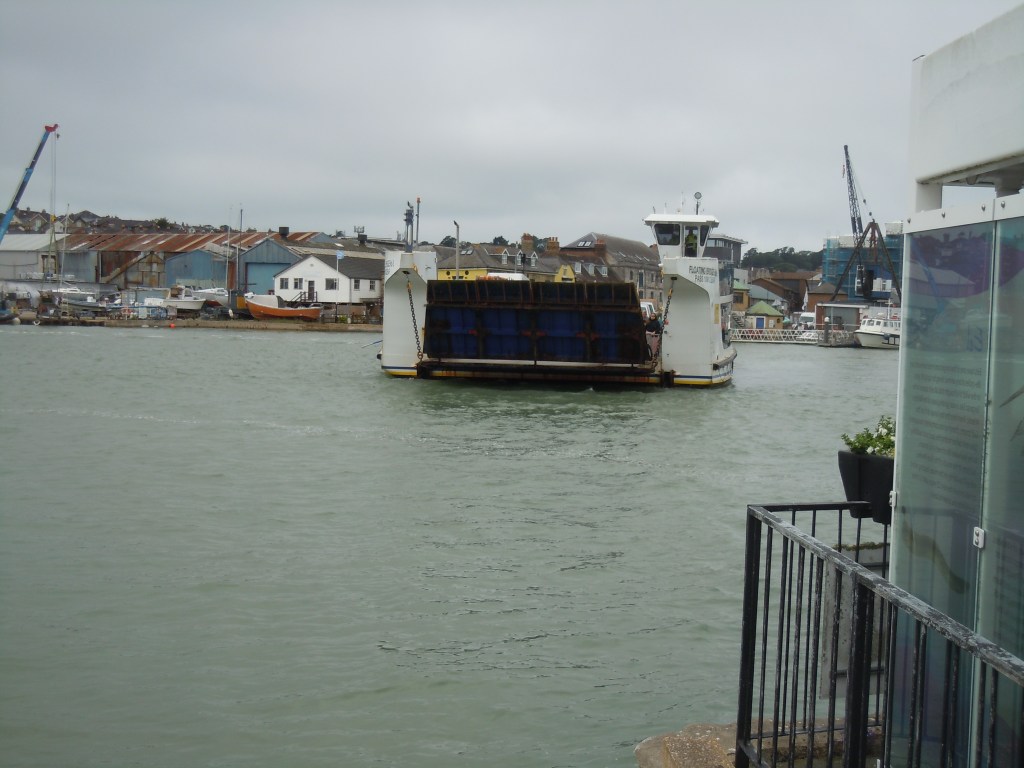
An hour later we got off, we hadn’t realised it was the Isle of Wight Festival this weekend so quite a few others got off with ruck sacks etc. However, we were heading a different way. First we needed to get across the estuary and walked down to the floating bridge. There is a coastal path sign here so we made this the start of our circular path. A bit of a wait and 10 minutes later we were across.
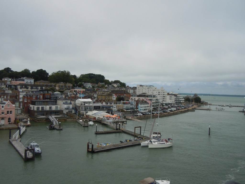
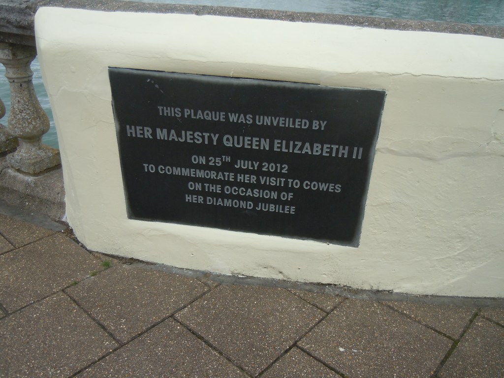
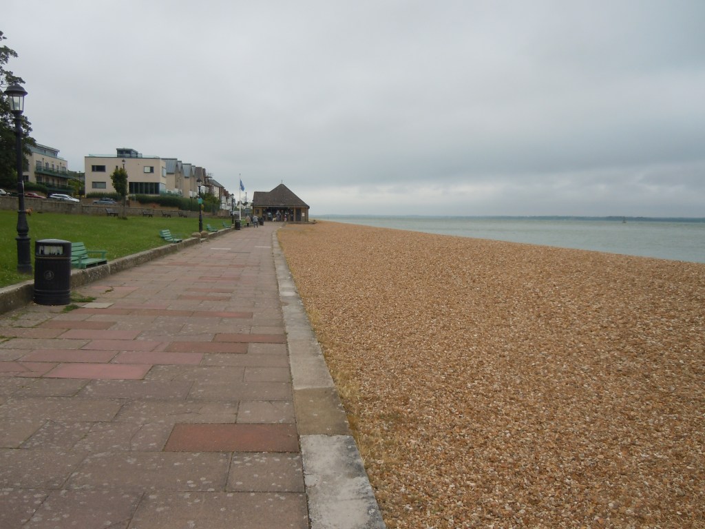
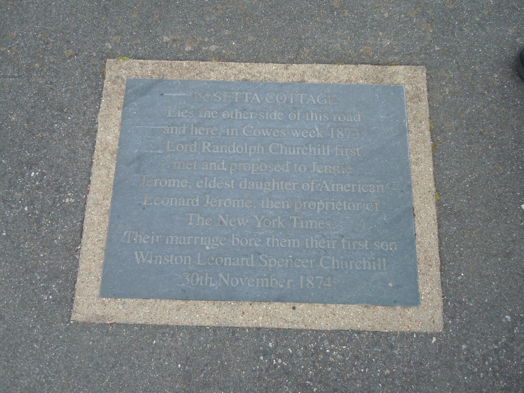
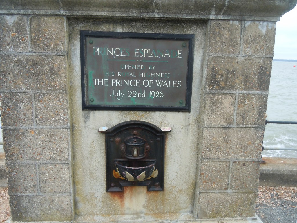
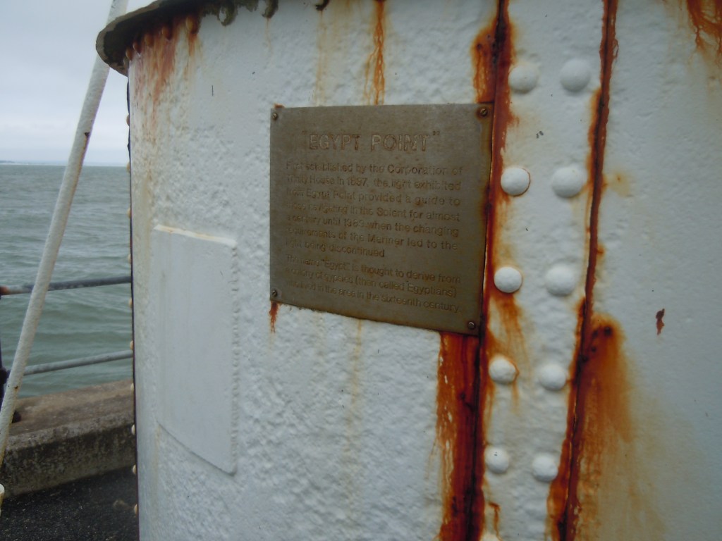
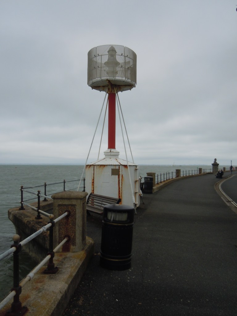
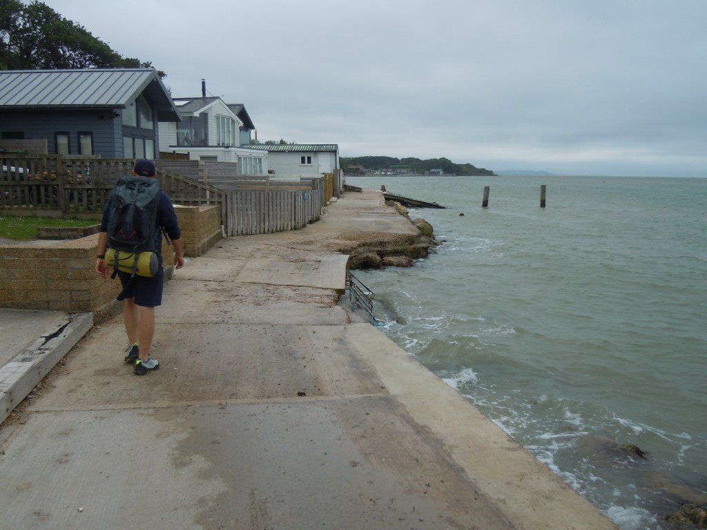
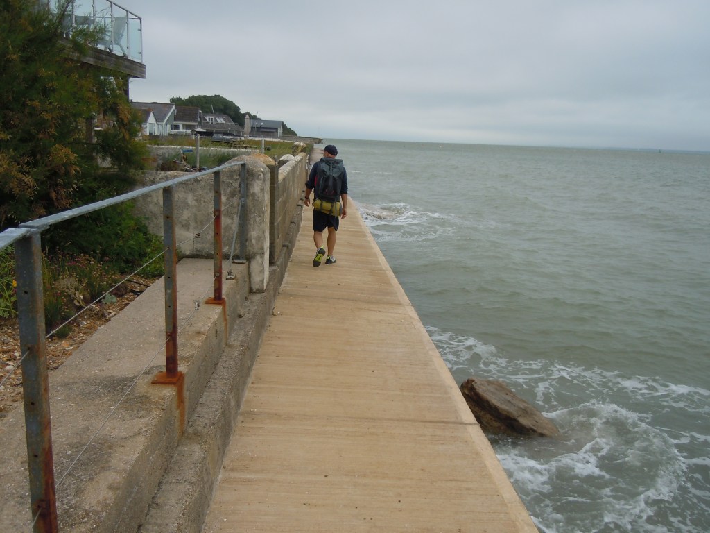
From here we walk until we hit the high street, a lovely parade of fairly expensive shops! This then leads us to the promenade. Most of today’s walk was going to be on pavement or roads so tough on the feet. At least the start was lovely with the Solent as company crashing against the sea wall. We passed a number of plaques to Winston Churchill, Queen Elizabeth II and the Prince of Wales. At the most northern point (Egypt Point) we find an old and very small light house. From here we continue down the promenade towards Gurnard.
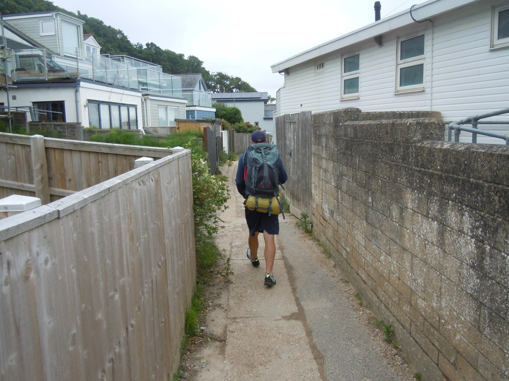
Here we head through a small alley and around a sailing club before coming back out onto a very narrow strip, the sea on one side, houses on the other. Just as well it wasn’t high tide as the water was spraying over as we walked along.
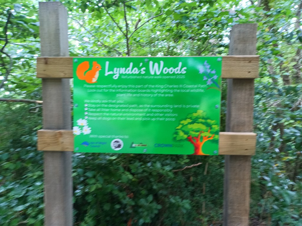
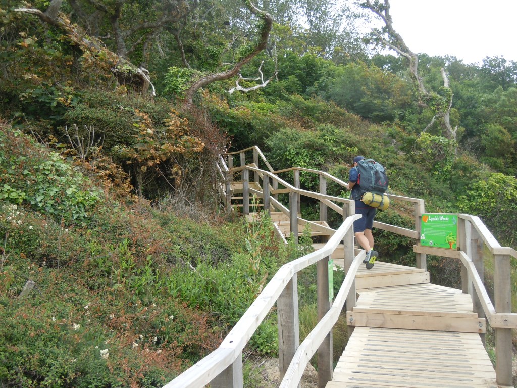
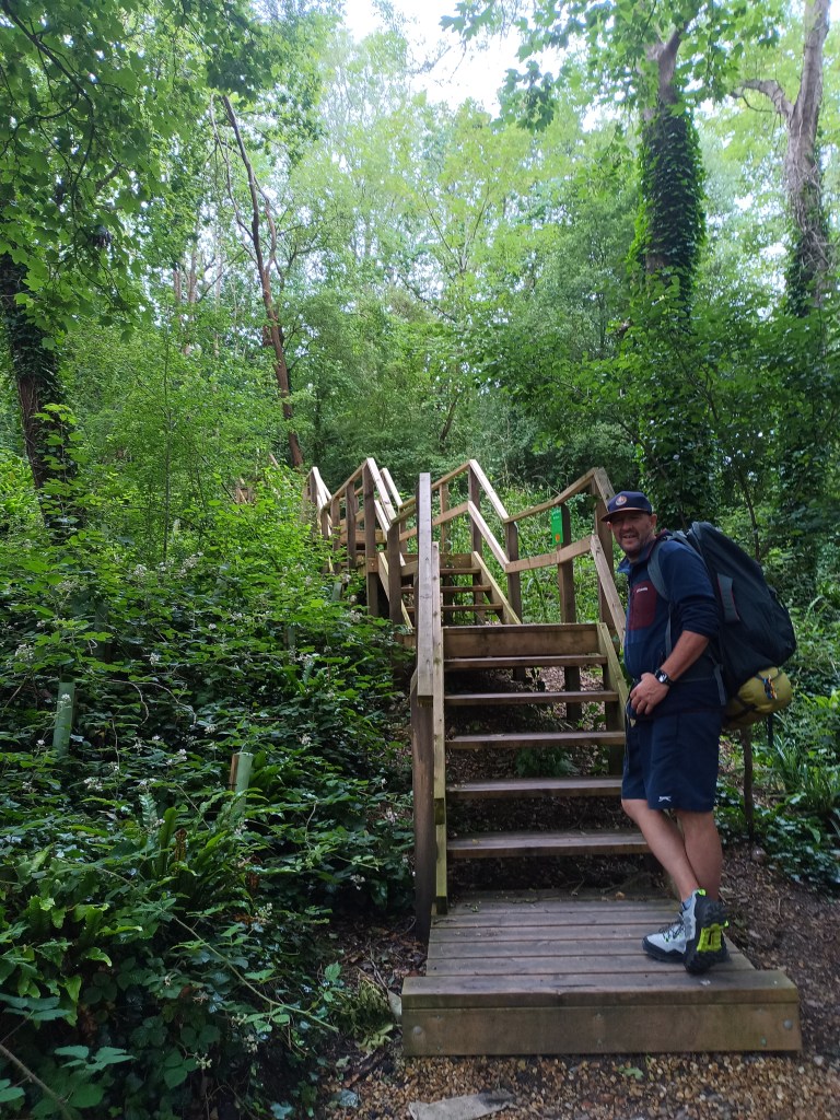
The path ends and we have to head up our first climb through Lynda’s Woods. A lovely little walk which ends up at a road at the top. So begins a long pounding route along the road. The coastal path is blocked where we should go and a diversion is in place. As we would come to find out there are a lot of diversions as the coast line is so eroded it constantly falls into the sea.
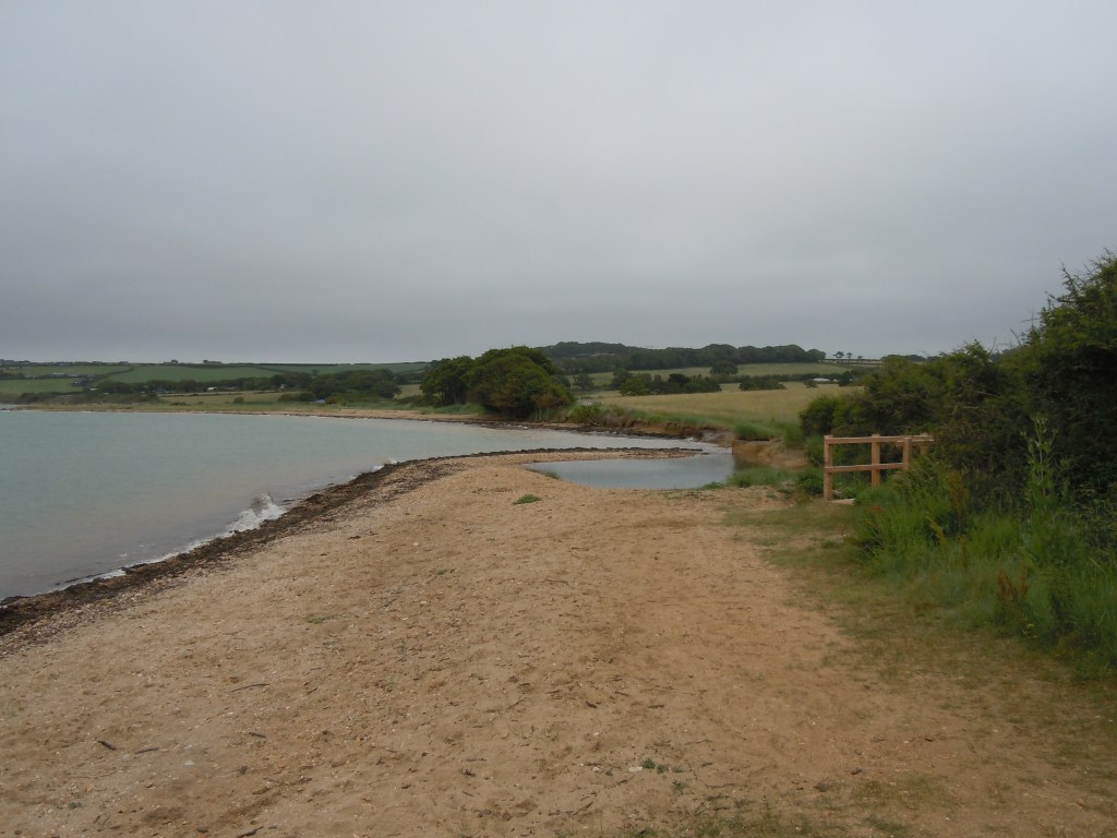
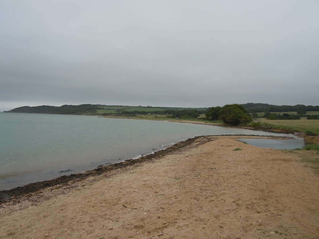
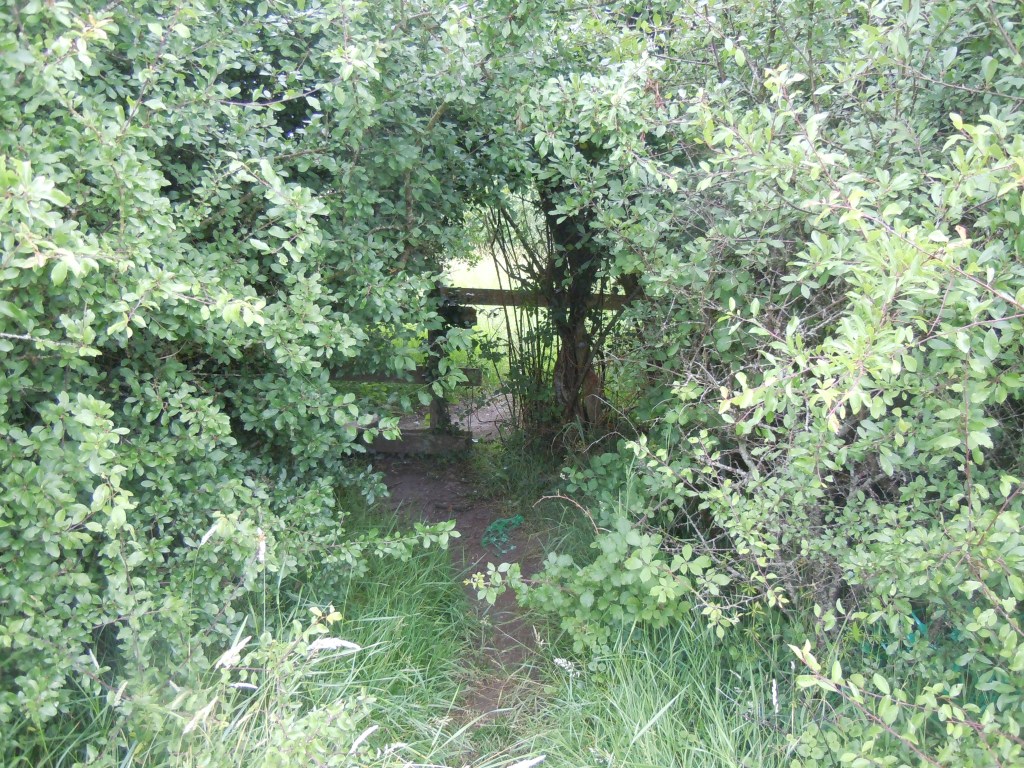
Thankfully we turn off and up a hill, through a wood and around a farm and then down towards the sea again. This is a lovely sandy bit of coastline although I am not sure what we would do if it was high tide. The question is answered when we see another path parallel to us which is where we should have been. Sadly we head away from the sea again and up a large hill. We walk through a holiday park and out the other side before heading over some fields. Another road is at the end and we walk along this until we come to The Sportsman’s Rest. Time for a drink and a packet of crisps.
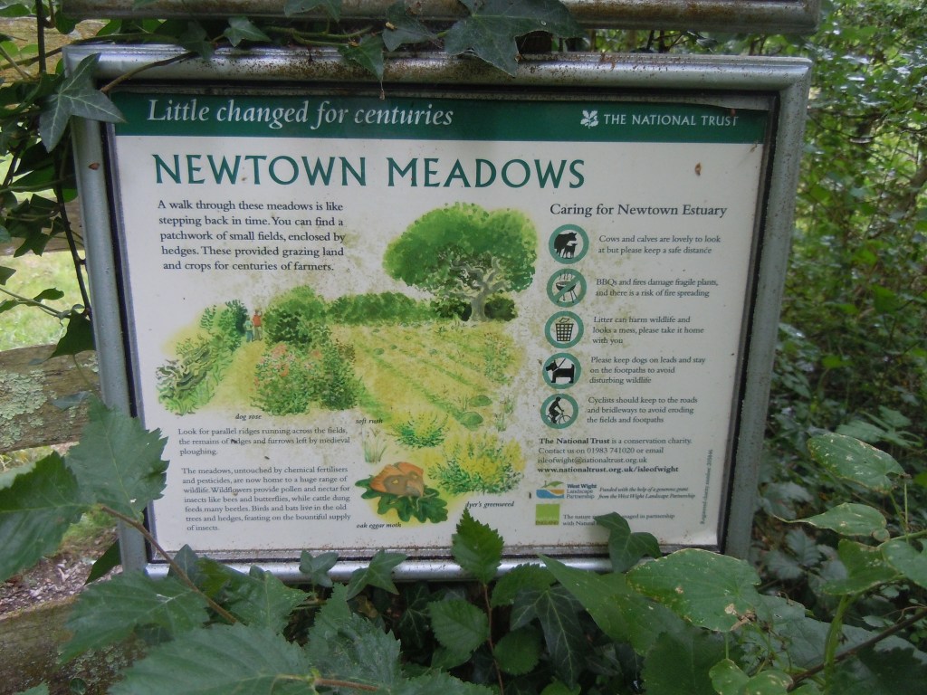
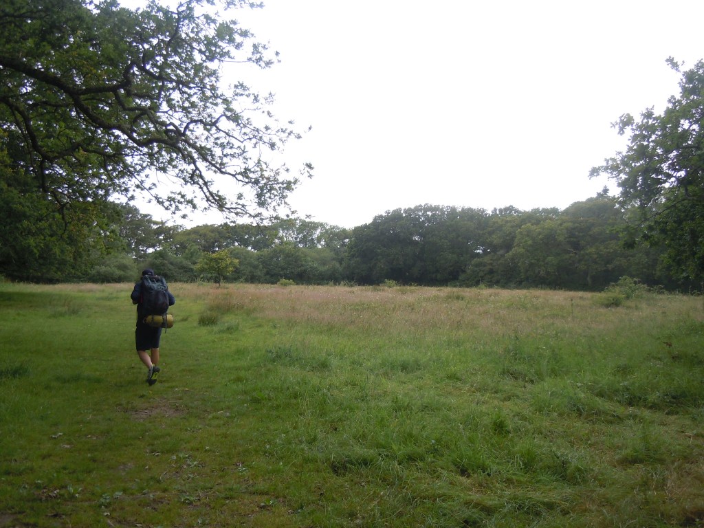
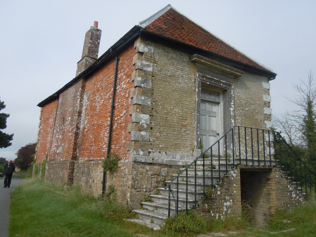
More road walking follows. This is to circumnavigate the ‘DANGER AREA’ on the map, used by the armed forces for training. After a couple of miles we turn off the main road and onto a lane. A sign post indicated we should head across a nice meadow and towards Newtown. This has an old Town Hall owned by the National Trust. Closed of course.
From here we walk along minor roads and lanes until we get to Shalfleet. Not far to go. Rob starts looking for a place to get a bottle of wine, all is closed. It is Wednesday in rural Britain. We head along the main road towards our destination and Rob spies a sign to a shop. It doesn’t say how far away though but he is not to be put off. ‘I will catch you up he says’.
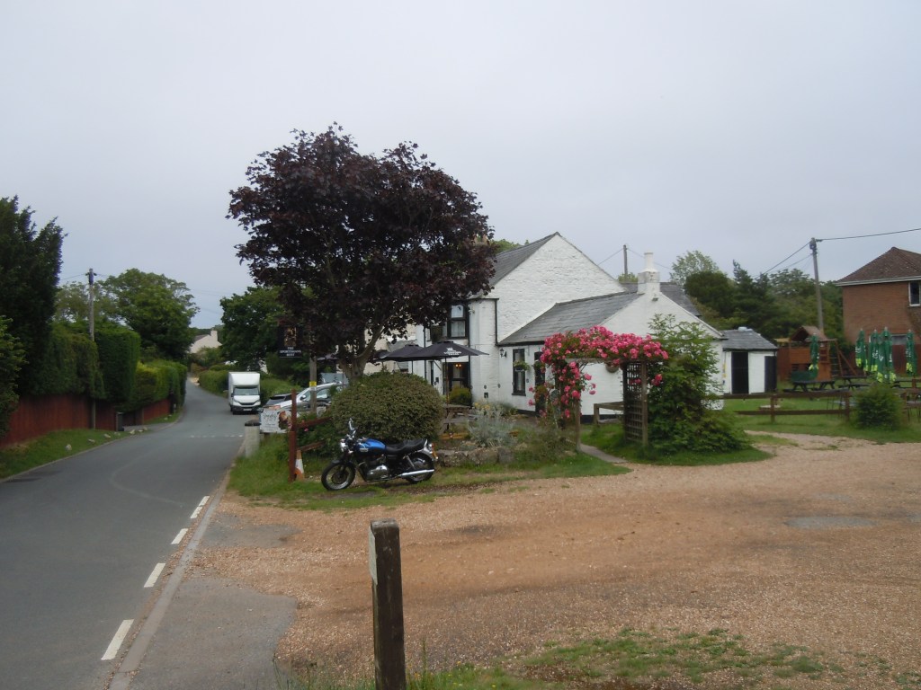
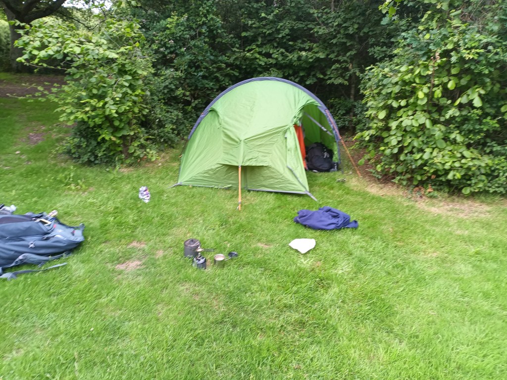
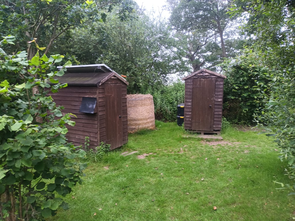
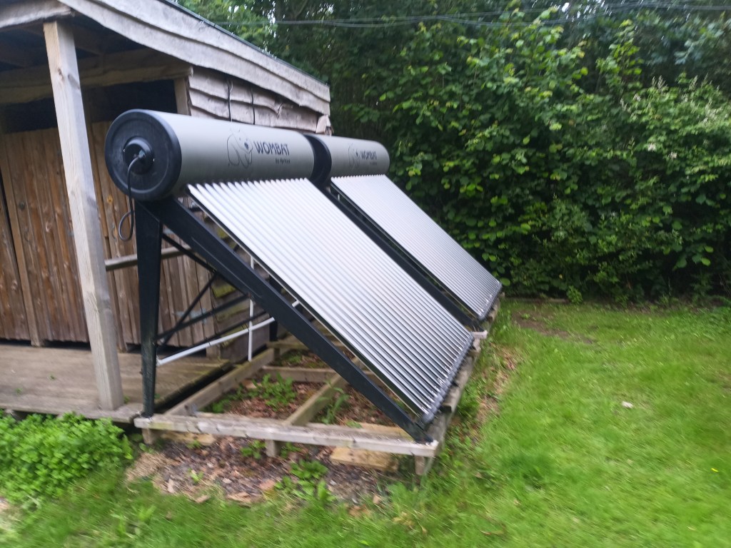
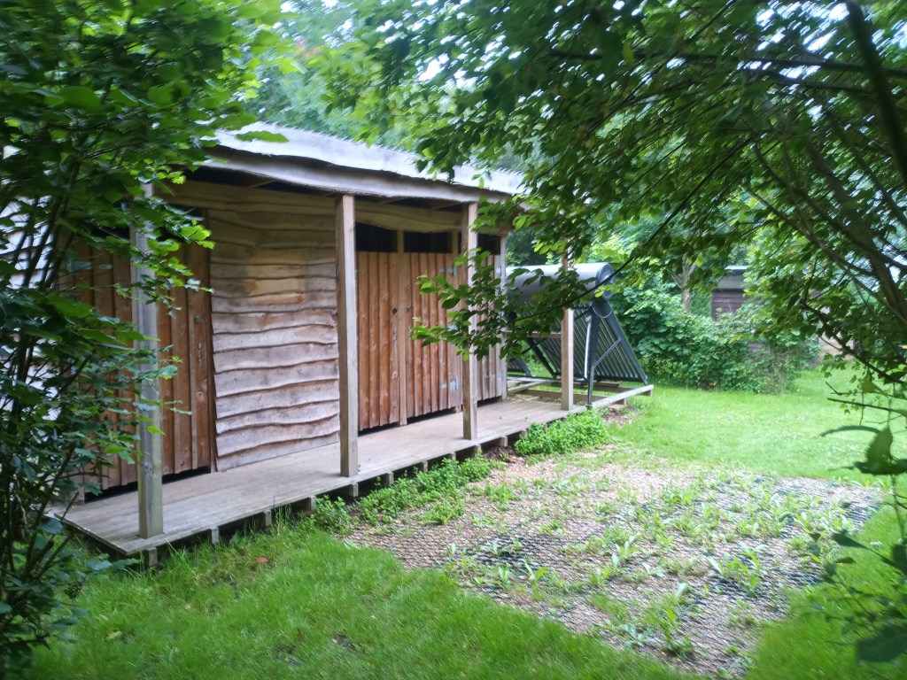
The rest of the walk is a bit monotonous and fairly dangerous as there is no proper verge alongside the main road for part of it. I pass the Horse & Groom which we shall be eating at later and keep on going. There is a sign for the camp and I follow it, down the wrong road. I back track and take the right one before realising I need to phone the camp owner. By the time I have done this Rob has caught me up. The camp owner has instructed us to camp under two oaks. Sod that. Last thing we need is a branch landing on us in the night or constant bird droppings. So we opt for a grassy space just out a bit. The camp site is fairly basic. Compost toilets with no toilet paper although we didn’t realise this till the next day. Thank God I bought some. Solar showers. Sinks placed at random places around the site. The tent is put up quickly, a cup of coffee on my new stove and we head to the pub. The hope is we can watch the England game on their TV screen.
They don’t have one.
They do have lots of peas. Far too many. After our meal we head back and try to watch the game on a phone. The wifi is too crap so we resort to the radio. We just about manage to listen to the game before sleep gets us.
Distance: 11.5 miles, was meant to be 10 but hey ho so many diversions.

Leave a comment