The Canvey Island Loop forms part of the English Coastal Path sitting between the walk from Leigh on Sea to Benfleet and Benfleet to Pitsea. It is as the name suggests a circular route walking around the sea wall. Canvey Island is below sea level hence the sea wall but this also means the route is flat. I mean really flat, a total ascent of about 10 feet. When I first planned out the route I had this down as an ‘easy’ route but as I was to find, this was far from easy and the temperatures didn’t help.
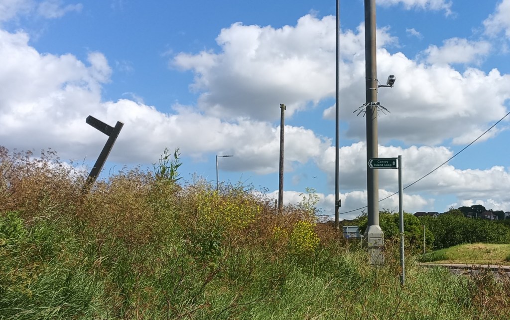
I had already walked Will into school and then back and then the walk to the station meant I had already done 2.5 miles before the walk even started. I was on the 10:13am to Benfleet and arrived 5 minutes later. A short walk onto the island over the bridge and I was at the start of the loop. My suggestion is that you do the walk anticlockwise and start by setting off West. This is because the first 5-6 miles has little to no escape routes and you wouldn’t want to be doing this in the last leg just in case anything happened when you are tired.
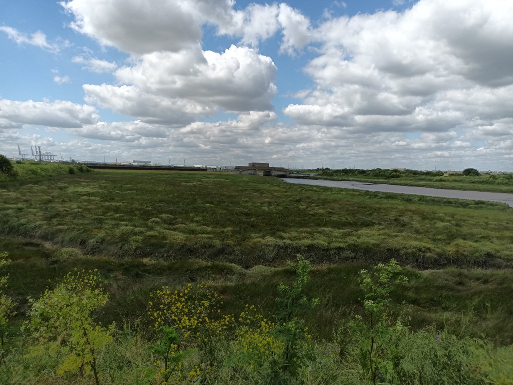
The sea wall is grassed over in this section and looks out over the creeks that separate Canvey Island from the mainland. The route is overgrown, not many people ever do this walk from the looks of things and it is never cut back. I would suggest that you do not do this part if it has been wet!

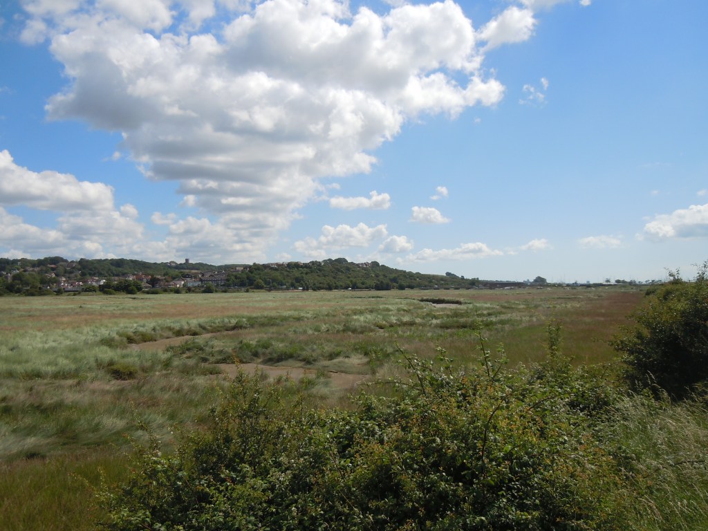


You start off flanked by the A130 on one side and Benfleet Creek on the other. After about 3/4 of a mile you head North on the sea wall then back to the West and then head South under the A130. You then continue for another mile with East Haven Creek on your right and West Canvey Marsh Reserve on your left. The grass has been up to my knees for the first mile but now it is up to my waist in places and bushes overgrow the route making it difficult but not impossible to walk through.

There are the occasional gates to walk through and the odd sluice gate here and there but it is fairly untamed out here. In the distance you can make out the Super Cranes at the docks, a good reference point to work out which direction you are travelling. You travel past Northwick Farm heading West again and then you reach the western point of the island at just over 3 miles. There is a flood barrier here and another a little further away all serving to regulate the water flow into the creeks from the Thames.

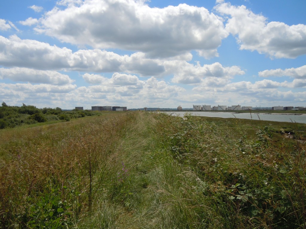

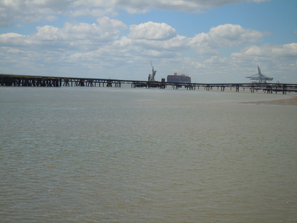
For a while the path is better but it is not long before you head South and slightly east back into an overgrown trail but this time you have a proper concrete sea wall on your right for company. It is not too high here and you can walk along it to get away from the undergrowth although I advise caution. You start to see a lot of Jetty’s out in the creek and the industrial centre of Coryton on the other side which used to house an oil refinery. At the 4 mile marker you start heading due East and by the 5th mile you can start to see civilisation!
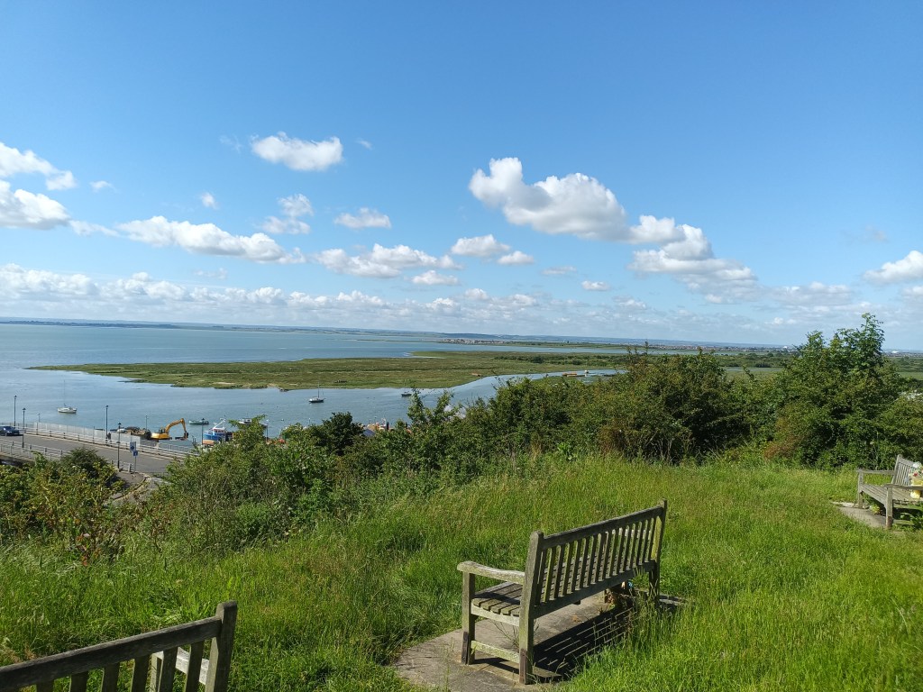
At around 5.5 miles you reach Holehaven point which is where the creek joins the Thames and across the water you can just about make out Cliffe and Halstow marshes. There is a welcome stop here in the form of the Lobster Smack which serves food and drink. You then spend the next mile or so walking alongside the sea wall, a lot bigger now and the oil storage depots. Once you see the caravans you know you are approaching Thorney Bay and Deadman’s Point.


You then spend the next 2 miles walking alongside Canvey Seafront with its rides, amusements, bars and food outlets. There is a lot of work going on to improve the sea wall at the time of writing so I had to come down off the sea wall and head along the road. At 9 miles you get to the South Westerly point of the island and start heading North. Soon you reach Smallings Creek and the marina heading around this and then back on yourself to walk around Canvey Heights Country Park. At the western part of the trail you get good views of Leigh and Southend and on the Northern part you can make out Hadleigh Castle. You are then heading back West beside Kings village park ‘Newlands’ and then the houses in ‘Sunken Marsh’. You then head North and back West alongside the Golf Club before thankfully making your way back to the start!


The route was far more difficult than I thought. The overgrown part and then the heat whilst wandering through the rest on a hard surface really did tire me out. I thought it might take about 4 hours but it was longer by another half hour in the end. I didn’t stop much except to eat a sandwich and take on water so take that into account if doing the trail and give yourself longer to complete it.

Distance: 13.3 miles
Ascent: 9.88 feet!

Leave a comment